Easily find publicly accesible lands in your own backyard
As a budding, self appointed urban conservationist, I love looking for wild, natural spaces in urban settings that I can seek out by bike or work into my commute. Be it looking for a refuge somewhere close to home or in a city I intend to visit, I have one tool I always tap in to first when trying to find public lands:
Google maps.

(Native wild flowers, bald cypress trees and Canada geese in a retention pond behind a government building less than a mile from my house)
Seriously, I Google map it. The feature that makes this all possible is how Google maps denotes many publicly accessible green spaces with just that – an outlined green space that makes finding these places super simple for my visually organized mind.

I have planned epic cross country road trips, years of planning in the making, only to come home to Tallahassee, Florida and be poking around on Google maps to find public lands I had no idea existed just a short ride from my house. Here I am looking for adventure in the deserts of the southwest when there are corners of my own town I didn’t even know were there! The feeling of excitement I get when I see a new little green space I can ride to is hard to match.

(Riding my EdgeRunner on a public greenway, that includes an historic cemetery site, wetlands, hardwood hammocks, ancient oaks and wildflower meadows, less than 5 miles from my house)
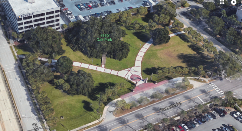
While I love digitally exploring my city’s wild spaces via Google maps at home, I find this method especially helpful when I’m visiting someplace out of town, where I likely haven’t the faintest where to even start to look for public spaces. For example, let’s go with my childhood hometown of Jacksonville, Florida. Recently I was in town and had to run some humdrum grown-up errands. I had my kiddo in tow so I wanted to balance errand running out with a little local adventuring she could look forward to.
Off the bat, Jax looks pretty bland, even for the continental US’s largest city.

But once you start zooming in, you really start to find public lands, parks and green spaces all over!
On this day, I gave my kiddo a few options to pick from and her final choice was to visit the Museum of Science and History downtown (good choice, kid!). I plugged that into our map and found that within a short riding distance from where we planned to park (with bikes in tow), we could visit the museum, 3 city parks (including one with a 250 year old southern live oak) and we could ride on a bike path along the St. John’s River. One museum, 3 parks and a bike path in one afternoon? Not bad!
Another favorite Google map feature for to help you find public lands before physically visiting a place is Google Street View. If I see a park or location I want to visit, I simply plop my Google person down to get an idea as to what the park looks like, where the best entrance by bike is or even if it’s a park we should pass on (i.e. a park that is more of an undeveloped wild space that is hard to access by bike or it’s just soccer fields).
While super basic, this method has worked wonders for me. It’s not perfect (sometimes city or county parks aren’t denoted on maps so you’d want to visit the city parks site to find those) but it’s a great spring board to help me easily find publicly accessible lands to saunter around. And it is literally my first go-to when visiting some place new and I want to know where the nature is.

(My Leap converted Diamondback loaded up with panniers on a wooden bridge at a park less than 2 miles from my house that follows a city drainage ditch and is inhabited by songbirds, wadding birds and an alligator if you’re lucky)
I challenge you this weekend: Google map search your own address and see what wild places lay uncovered in your own urban back yard!

(A nature preserve trail in downtown Tallahassee)